


Les Écrins la Salette

c.gourme
User
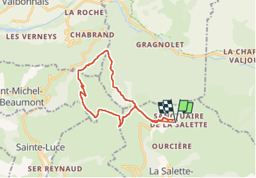

Length
14 km

Max alt
2018 m

Uphill gradient
724 m
Km-Effort
24 km

Min alt
1520 m

Downhill gradient
708 m
Boucle
Yes
Creation date :
2024-10-06 06:53:50.0
Updated on :
2024-10-06 12:13:35.545

FREE GPS app for hiking
 SityTrail
IGN / Geographical institutes
SityTrail Plus
The world is yours!
About
Trail of 14 km to be discovered at Auvergne-Rhône-Alpes, Isère, La Salette-Fallavaux. This trail is proposed by c.gourme.
Positioning
Country:
France
Region :
Auvergne-Rhône-Alpes
Department/Province :
Isère
Municipality :
La Salette-Fallavaux
Location:
Unknown
Start:(Dec)
Start:(UTM)
735255 ; 4971529 (31T) N.
Comments